*The following is a tentative list of keynote speakers presented alphabetically by last name.
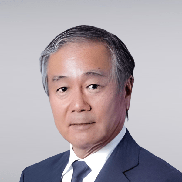
Tomonari Akamatsu
Title: Senior Researcher (Professor)
Institution: Research Organization for Nano & Life Innovation, Waseda University, Japan
Additional Role: Director of Ocean Policy Research Division, Sasakawa Peace Foundation, Japan
Tomonari Akamatsu
Progresses of underwater acoustic technologies
Tomonari Akamatsu, Research Organization for Nano & Life Innovation, Waseda University
Introduction
In underwater environments where electro-magnetic waves and light cannot travel far, sound waves have long been used for exploration and communication. This lecture will introduce the recent developments of active technologies, which emit sound waves to detect reflections from objects, and passive technologies, which detect sounds from phonating objects. It will also explore future technological prospects.
Development of Active Technologies
In active technologies, a major turning point has been the application of multi-channel and wide-band methods. For example, multibeam sonar equips multiple receiving elements for the beam forming to separate reflected sounds from various directions as well as the echo delay time, which is enabling the visualization of 3D object distributions underwater. This has been applied in mapping seabed topography, fish school shapes, subsurface exploration for mining using air guns, and even underwater visual-like imaging using acoustic lenses. Additionally, wide-band technologies provide various type of target information in addition to the location and time. For example, power spectrum shape of wide-band echo from a fish can be used for the species identification. Impulse response of a target could reflect the internal structure of a fish that is the bio-mimetic echosounder of dolphin sonar. Wide-band frequency modulated signals also contribute the fine time and spatial resolutions to obtain fine imaging of seabed and fish schools.
Ocean sound propagation experiments by Munk and others in 1991 demonstrated that low-frequency underwater sounds can travel thousands of kilometers in the sound channels. This technique has been applied to observe average water temperature and current speed based on the sound travel time between two acoustic stations having a transmitter and a receiver. One pinnacle of the application of this technology is ocean acoustic tomography, which calculates the 3D distribution of water temperature and current speeds by solving simultaneous equations of multiple sound paths.
Underwater communication is challenging theme, which is even difficult comparing with space communication. The speed of sound is significantly slower than light and is more susceptible due to multiple reflections and attenuation. Techniques like phase modulation and convolution processing have been employed to mitigate these effects. The improvement of the distance and the speed of communication is an essential technology for future underwater engineering for controlling autonomous underwater vehicles (AUVs) and other independent underwater robots.
Development Passive Technologies
Passive technology development has been largely driven by the detection of submarines. During the Cold War, a network known as SOSUS (Sound Surveillance System) was deployed across the Atlantic. Interestingly, what was once considered noise turned out to be the vocalizations of whales. After the Cold War, underwater acoustic technologies were made available for civilian use, and what was once regarded as noise became the target of observation. Not only marine mammals like whales, dolphins, and dugongs, but also sound-producing species such as fish and crustaceans, are now being monitored using passive technologies. These techniques are widely used globally for environmental assessments of the oceans. For examples, long-term continuous monitoring of presence of odontocetes using high frequency pulse event recorders have been used for the impact assessment of offshore windfarm development.
A more recent development that has attracted attention is Distributed Acoustic Sensing (DAS), which uses weak reflections from lattice defects in fiber optic cables to measure underwater sound pressure. Though the sensitivity is still insufficient, existing fiber-optic communication cables can be used as hydrophone arrays to detect surrounding sound sources.
Future Issues and Anticipated Technologies
Ocean is no longer out of reach domain. Underwater Domain Awareness is strongly demanded for the sustainable use of ocean. For active technologies, precise mapping and wide-band communication in long range is needed. Localization in the water like an underwater GPS will be required for the operation of underwater robots. For passive technologies, identifying the sources is a big issue. Annotated reference data of phonating targets is needed. The rising underwater noise levels from various human activities have become an international concern due to their impact on marine life. The International Maritime Organization has already set non-mandatory guidelines for ship noise. In coming future, two major ocean developments are the floating type offshore windfarms and deep-sea mining. The issue is that we do not know the baseline data of ocean noise and status of intact marine ecosystem in far offshore and deep waters. This means no control data is available to assess the impact of future ocean developments. Ocean engineering should care the ocean ecosystems to meet sustainable development goad 14th. Active and passive acoustic technologies will provide compromised solutions.
Bio
Tomonari Akamatsu is a professor at Waseda University. He was educated in theoretical physics at Tohoku University and received Ph.D. (agriculture) from Nihon University in 1996. His majors are underwater bioacoustics and passive acoustic monitoring of aquatic creatures. He was a senior researcher of National Research Institute of Fisheries Science until 2019 and temporarily studied at National Institute of Polar Research in 1997 and Thomas Hunt Morgan School of Biological Sciences, University of Kentucky as a visiting scholar during 1999-2000. He was a director at Policy Research Department of Ocean Policy Research Institute of Sasakawa Peace Foundation during 2000-2024. He was an associate editor of Journal of the Marine Acoustic Society of Japan, Bioinspiration & Biomimetics, Journal of Ethology and committee member of marine environmental assessment organized by the Ministry of the Environment, NEDO, Ministry of Economy, Trade and Industry. He is a member of cetacean and sirenian specialists groups of IUCN, ISO/TC43/SC3, IEEE/OES Japan chapter. He serves for the Technical committee of Animal Bioacoustics of The Acoustical Society of America, Nominations and Elections Committee of The Society for Marine Mammalogy and various academic services. He was awarded competitive research grants such as CEST, KAKENHI and BRAIN and published over 150 peer reviewed papers and book chapters.
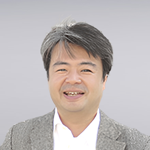
Eiichiro Araki
Title: Senior Researcher
Institution: Japan Agency for Marine-Earth Science and Technology (JAMSTEC), Japan
Eiichiro Araki
Title
Measuring wide dynamic range behavior of the seismogenic plate margin by optical fiber strain.
Abstract
I will present the development and implementation of the observing system we are working on to understand the ongoing crustal phenomena in the Nankai Trough megathrust. In particular, I will focus on the recently deployed fiber optic strain and distributed fiber optic strain measurement techniques. Both of these techniques are based on the use of optical interferometry to measure length changes in optical fibers and are linear in nature, and therefore have the potential to provide observations over a very large bandwidth and dynamic range. Because of this potential, we believe that these fiber-optic measurements are suitable for observing the seismogenic subduction zone, where large earthquakes occur over long periods of time, while plate boundaries are usually firmly locked or slow deformations such as slow slip events occur from time to time.
In this talk, I will discuss the application of these observational techniques to the Nankai Trough, including seafloor fiber-optic strainmeters, distributed fiber-optic sensing in the Off Muroto submarine cable extending 120 km offshore of the Nankai Trough, and the application of these techniques in deep seafloor boreholes with some observational examples.
Bio
PhD in Geophysics and Planetary Physics, the University of Tokyo, 2000.
Since 2000, I am at Japan Marine Science and Technology Center (now Japan Agency for Marine-Earth Science and Technology; JAMSTEC). Currently a Group Leader, R&D Group for Seafloor Observatory, R&D Center for Earthquake and Tsunami Forecasting, Institution of Marine Geodynamics, JAMSTEC.
My research field is marine seismology. I have been engaged in the development of seismic and crustal deformation observation systems in the seafloor, such as submarine cabled seismological sensor network DONET and deep borehole observatories linked to the cable network in the Integrated Ocean Drilling Program in the Nankai Trough, Japan.
I also analyze data from these seafloor observation systems and led to discovery of repeated and triggered slow slip events in the Nankai Trough (Araki et al., 2017). In the recent years, I see significant future potential of distributed optical fiber sensing technology in the seafloor environment and making efforts to implement them in many fields.
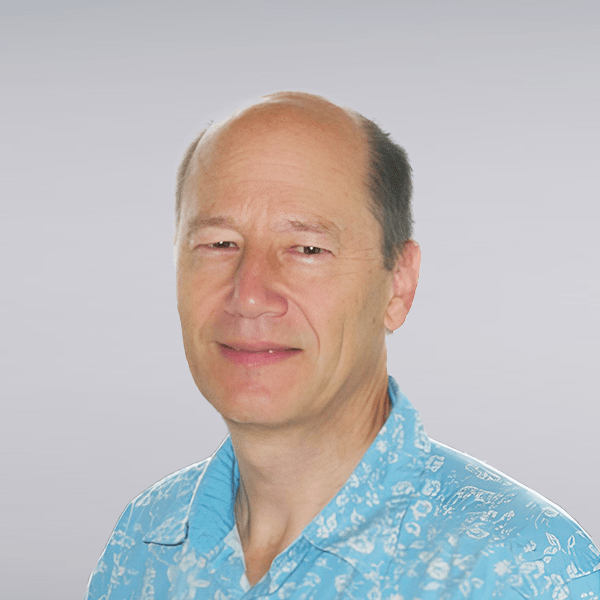
Bruce M. Howe
Title: Research Professor
Institution: Ocean and Resources Engineering Department, School of Ocean and Earth Science and Technology, University of Hawaii
Bruce M. Howe
Title
Observing the oceans and Earth with subsea cables, into the future
Bruce Howe
School of Ocean and Earth Science and Technology,
University of Hawaiʻi at Mānoa
Abstract
The ocean is key to understanding climate change, sea level rise, ocean warming, tsunamis, and earthquakes. Because the ocean is difficult and costly to monitor, we lack fundamental data to adequately model, understand, and address these processes. Over the last decades, dedicated submarine cable systems have been supporting science and early warning. These are now evolving to include a commercial component.
The Science Monitoring And Reliable Telecommunications (SMART) Cables Initiative is working to integrate sensors into telecom cables. These sensors will share the power and communications infrastructure of millions of kilometers of undersea cable, enabling seafloor-based global ocean and Earth observing at modest incremental costs. The UN Joint Task Force (JTF) is facilitating the adoption and implementation.
Initial sensors include temperature, pressure, and seismic motion. These sensors will provide data for improving ocean heat content and circulation and sea level rise estimates, global tsunami and earthquake warning networks, and geophysical understanding of the earth. These sensors and future extensions can help protect the cable from natural and anthropogenic hazards.
We review some history and then describe the SMART initiative and provide more detail on two systems: Tamtam connecting Vanuatu and New Caledonia, and Atlantic CAM connecting Lisbon (the Continent), Azores and Madeira in a 3700 km ring with SMART nodes along the cable, both to be installed in 2026. Opportunities for further developments (aka SMART+) to improve both ocean observing as well as cable protection will be discussed.
Short Biography
Bruce M. Howe
Chair, Joint Task Force for SMART Subsea Cables
Research Professor, University of Hawaiʻi at Mānoa
Dr. Howe leads the Joint Task Force (JTF) SMART Cable Initiative (Science Monitoring And Reliable Telecommunications) to incorporate sensors into the global submarine telecommunication cable network for climate, ocean circulation and sea level monitoring and tsunami and earthquake warning.
He develops ocean observing infrastructure. Projects have included basin-scale acoustic thermometry, and planning, development, and operation of cabled observatories.
After obtaining engineering and oceanography degrees at Stanford University and the University of California at San Diego, he worked at the Applied Physics Laboratory, University of Washington, and since 2008, at the University of Hawaiʻi, Department of Ocean and Resources Engineering.
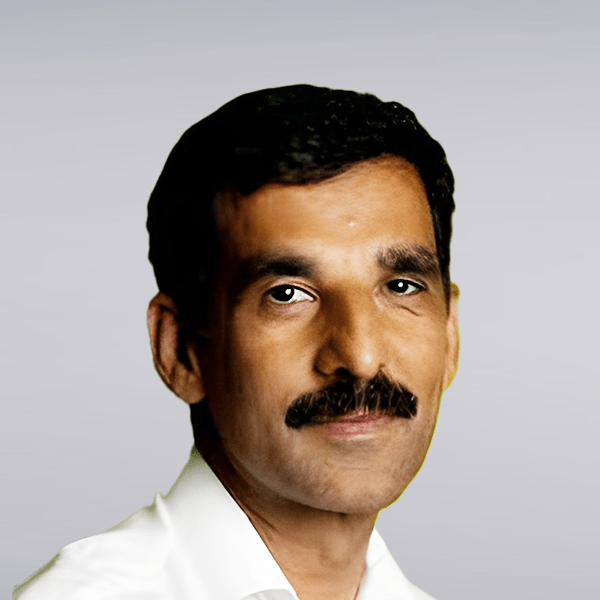
Hanumant Singh
Title: Professor
Institution:
Electrical and Computer Engineering
Jointly Appointed Mechanical and Industrial Engineering
Program Director, Master of Science in Robotics
Northeastern University College of Engineering
Hanumant Singh
Title
The Role of Machine Learning on Underwater Robotics and Marine Imaging
Abstract
Machine Learning algorithms are becoming ubiquitous in the world of computer vision and robotics. In this talk, I will explore the role of ML and contrast such methods with geometric / physics based techniques. Using real world examples from the marine and polar domains I will show how these methods complement each other and the unsolved problems that the community needs to tackle. In particular I will focus on the highly unstructured low contrast, high backscatter environments that have presented challenges to the research community including imaging in turbid waters, at hydrothermal vents and for icebergs and marine terminating glaciers.
Bio
Hanumant Singh is a Professor at Northeastern University. He received his Ph.D. from the MIT WHOI Joint Program in 1995 after which he worked on the Staff at Woods Hole Oceanographic Institution until 2016 when he joined Northeastern. His group has designed and built the Seabed AUV and the Jetyak ASV, dozens of which are in use for scientific and academic research across the globe. His research focus is in the area of SLAM, 3D reconstruction, and Imaging for field robotics, especially in the context of marine and polar environments. He has participated in 65 expeditions in all of the world’s oceans in support of Marine Geology, Marine Biology, Deep Water Archaeology, Chemical Oceanography, Polar Studies, and Coral Reef Ecology. His work has been featured in National Geographic Magazine, the BBC, the New York Times, Wired Magazine, Discover Magazine and other news and television outlets around the world.
In collaboration with his students his awards include the ICRA Best Student Paper Award, the Sung Fu Memorial Best IEEE Transactions on Robotics Paper Award and Best Paper Awards at the Oceans Conference and at AGU. He is a Fellow of the IEEE and has received the IEEE Oceanic Engineering Society Lifetime Achievement Award for his contributions to the design and use of Autonomous Marine Systems.

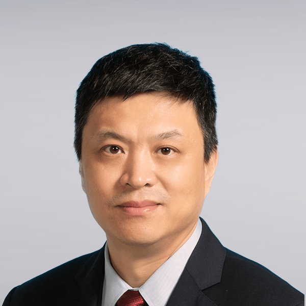
Fumin Zhang
Title: Chair Professor
Institution: Department of Electrical and Computer Engineering and Department of Mechanical and Aerospace Engineering, Hong Kong University of Science and Technology (HKUST), Hong Kong
Additional Role:
- Director of Cheng Kar-Shun Robotics Institute (CKSRI), HKUST
- Director of HKUST Cheng Kar-Shun Robotics Institute
Fumin Zhang
Title
Motion Tomography: Learning Ocean Flow from Marine Vehicle Trajectories
Abstract
Recent technology advancements are enabling long term autonomy solutions for swarms of marine robots, aerial vehicles, and satellites to form mobile sensor networks to collect information from land and ocean. This talk addresses the fundamental path following behaviors of marine vehicles under the guidance of ocean models, which is motivated by experimental work on navigating ocean gliders. Experimental data consistently suggests that the navigation error is caused by unknown ocean flow. The method of motion tomography (MT) is proposed to learn the unknown ocean flow from the navigation error along the vehicle trajectories. This method fuses the data collected by multiple marine vehicles along their paths to formulate an “inverse problem” that has been the core problem underlying medical CT imaging. By solving this inverse problem, a high-resolution spatial map of ocean flow in the volume traversed by the vehicles can be reconstructed. Motion tomography provides a “directly measured” spatial map of ocean flow, which can be leveraged by path planning and following controllers on-board marine vehicles to reduce the navigation error. However, due to the limited spatial resolution of the flow map, the tracking performance of the marine vehicles are bounded by a smallest possible error.
Dr. Fumin ZHANG is Chair Professor and Director of the Cheng Kar-Shun Robotics Institute at the Hong Kong University of Science and Technology, serving as Acting Head for the Department of Mechanical and Aerospace Engineering. He is also Dean’s Professor adjunct in the School of Electrical and Computer Engineering at the Georgia Institute of Technology. He received a PhD degree in 2004 from the University of Maryland (College Park) in Electrical Engineering and held a postdoctoral position in Princeton University from 2004 to 2007. His research interests include mobile sensor networks, maritime robotics, control systems, and theoretical foundations for cyber-physical systems. He received the NSF CAREER Award in September 2009 and the ONR Young Investigator Program Award in April 2010. He is currently serving as the co-chair for the IEEE RAS Technical Committee on Marine Robotics, associate editors for IEEE Transactions on Automatic Control, and IEEE Transactions on Control of Networked Systems, IEEE Journal of Oceanic Engineering, and International Journal of Robotics Research. He is Fellow of IEEE.

